Hand-drawn route maps and field guides for the gravel roads of the Western and Northern Cape. Drawn, printed and folded in Riebeek-Kasteel.
See the sheetsThere is a stretch on the R354 north of Matjiesfontein where the phone gives up for about ninety minutes, and another one on the Tankwa road where it never had anything to give up in the first place. That is the whole argument for a printed sheet, and we would rather make it once, here, than repeat it under every product. Paper does not flatten, does not need a cable, does not lose the plot when the bakkie charger rattles loose, and it lets three people look at the same thing at once over a bonnet, which no phone has ever managed. We are not against the app on your dashboard. We only think it should not be the one thing standing between you and knowing where you are.
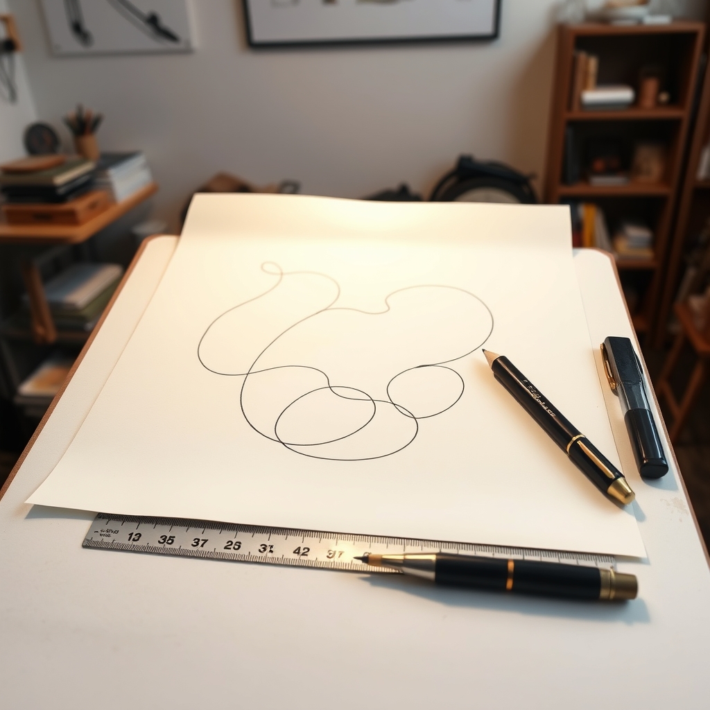
My name is Marlize Coetzee and I have been drawing these sheets since 2016, when I got lost on a farm road outside Piketberg with a phone that had decided the road was a river. Everything on a Kompas sheet has been driven, and most of it twice — once with a notebook on the passenger seat and once again eighteen months later to find out what has changed. Gates get locked, drifts wash away, and a farm stall that fed you in March is a shed with a padlock on it by September. The only way to know that is to go back. The part people ask about least is the part that matters most, which is the contour interval. Scale tells you how far. Interval tells you how steep, and steep is what decides whether you take a trailer up Uitkyk or leave it standing at the bottom of the pass. I draw at ten metres through the mountains and twenty across the flats, in pencil first, then in ink on drafting film, and only after that does anything go near a screen. A sheet takes about four months. There are three in print, the Wild Coast is on the table now, and I would rather end up with six good ones than with twenty.
Tell us the route and we will say honestly whether we have a sheet for it, and whether it is worth having. We answer from the workshop in Riebeek-Kasteel, usually inside a day.


