

Groundtruth Aerial

Maps you can measure off

Drone survey for construction sites, farms and quarries — orthomosaics, contours and stockpile volumes, in the formats your engineer already opens.

Get a quote

Certified crews

Every pilot holds a CAA remote pilot licence and flies under our own RPAS operator certificate. Public liability cover, proof on request.

Survey-grade capture

A 24-megapixel mapping payload with RTK, flown at a fixed height so a pixel is the same size on the ground at the start and the end of the job.

Data you can build on

Point clouds, surfaces, contours and volumes in the formats your engineer already opens — LandXML, DXF, GeoTIFF, LAS.

We travel to the site

Bases in Gauteng and the Western Cape. Anywhere else, the drive and the accommodation are quoted up front, not added on afterwards.

What we do

We fly a piece of ground and turn what the camera saw into measurements. That is the whole business.

Cadastral beacons and sign-off stay with a registered land surveyor. We bring the flight, the model and the numbers, and we work alongside yours when a job needs one.

Flown to order

Topographic survey, contours at 250 mm

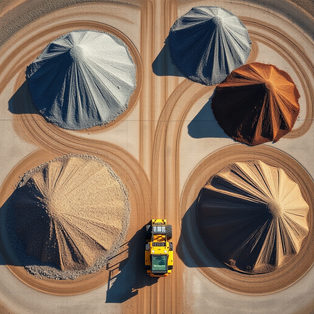
Stockpile volumes — coal, sand, aggregate

Monthly progress maps for site meetings

Orchard and vineyard block mapping

Contour and stormwater drainage plans

Powerline and servitude inspection

As-built compared against design

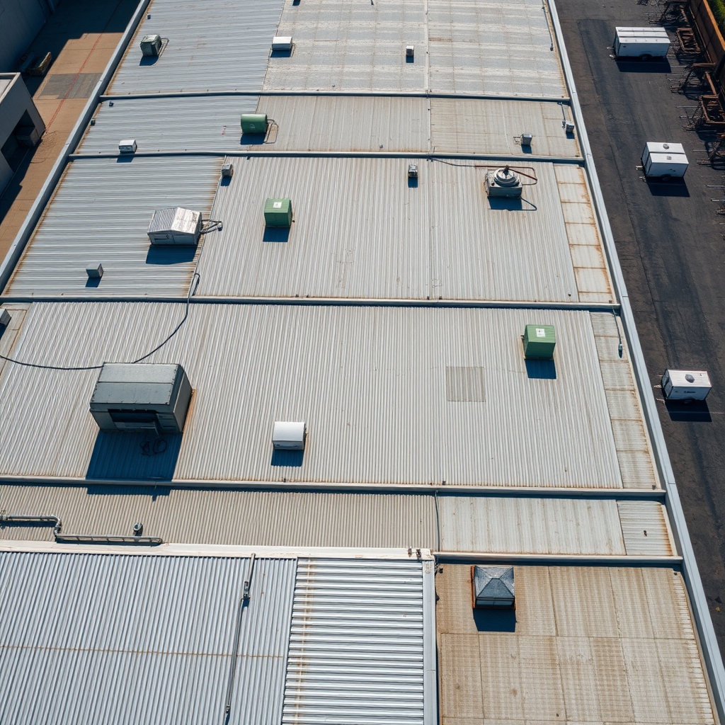
Roof, tower and structure close-range work

We had been arguing about a bulk earthworks claim for six weeks. One flight settled it — their volumes came back within two percent of the contractor's own figure, so we paid it and moved on.
Riaan Steenkamp · Quantity surveyor, Midrand
They flew the whole farm in a morning and showed me which blocks were struggling before I could see it from the bakkie. We pulled out forty rows on the strength of that map.
Elmarie Loubser · Citrus grower, Citrusdal
First contractor I have used who was on site before my team and packed up before the first concrete truck. The file was on my laptop by the Thursday.
Sipho Ndlovu · Site agent, Gqeberha

How a survey runs

Six steps, quoted before we fly.

The brief

Send the site boundary and what you need measured. A fixed price comes back the same week.

Airspace and window

We clear the airspace and pick a still morning. Most sites are flown within ten days.

Ground control

Targets are pegged and picked up on survey GPS, so the model sits on real coordinates.

Flight day

First flight at sunrise, packed up by mid-morning. Usually one crew and two batteries.

Processing

Two days on the workstation: point cloud, surface, contours, then a check against control.

Handover

Files and a short accuracy note. We keep the raw data for three years in case you go back.

The crew

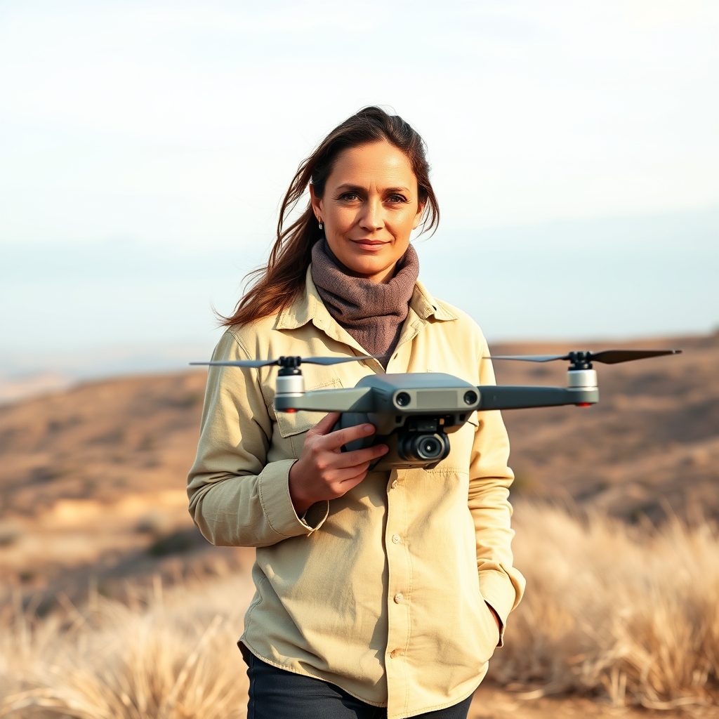
Dineo Mahlangu
Dineo MahlanguChief pilot

Twelve years flying, the last six of them on mapping work. Holds the CAA remote pilot licence, keeps the maintenance log, and does the airspace paperwork nobody else wants to touch.

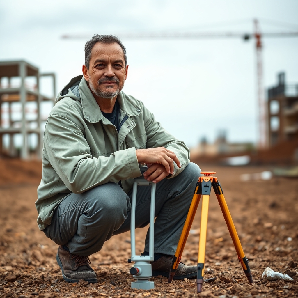
Werner de Beer
Werner de BeerSurvey lead

Survey technician out of Stellenbosch. Sets the ground control, runs the processing, and writes the accuracy note that goes out with every job — including the jobs where the number is not flattering.

What a flight day looks like

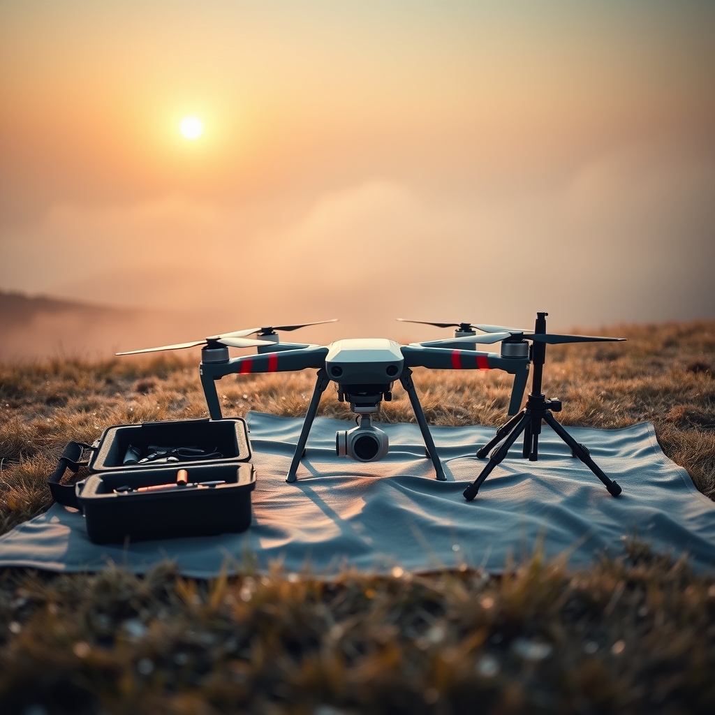
We aim to be on the site before sunrise. The air is stillest then and the low sun throws long shadows, which is what makes an edge readable. By ten the wind is up and the ground goes flat. The first hour is ground control: targets pegged across the site and each one picked up on survey GPS. Then the grid gets flown, two or three batteries on most jobs, with one of us walking the boundary while the aircraft works. We are packed up by mid-morning and off your site before the deliveries start. Processing takes two days, and the files come back with a note saying what the check points actually measured.

Ask for a quote

Kempton Park, Gauteng and Malmesbury, Western Cape 010 335 2214 · flights@groundtruth.co.za CAA RPAS operator certificate on file, shared on request.